Climping Beach, to the west of the mouth of the Arun, contains the remains of the sunken medieval villages Atherington and Cudlow. Some structures are visible at low tide. The sea continues to encroach, eroding the beach and revealing archaeological remains from many periods. Worthing Archaeological Society has maintained a watching brief to conserve and identify items as they appear.
Visits in 2023
Visits in 2024
Notes by John Mills 4 December 2024
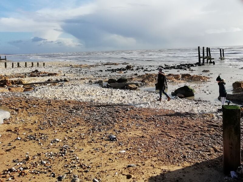
Bill Watkins has been copying me WA messages about various things he has noticed on his regular dog-walking visits to Climping beach following the recent stormy weather, including a possible small arrangement of interwoven withies or similar, some way westward about half way between Atherington and Elmer. We met there at 8.00 this morning, and although the wood was now mostly under sand again, it looks to have lain within the alluvial fill of the wide palaeo-channel showing in section in the “cliff face”, which some of you may remember seeing before in that area. Bill also tells me that he has found one bit of pottery from well down in the palaeo-channel itself, which looks like the EIA pottery which we sample-excavated from the large pit (now washed away) further west.
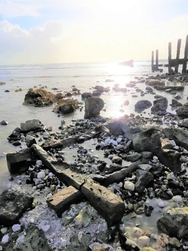
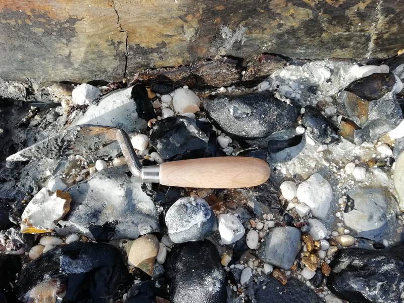
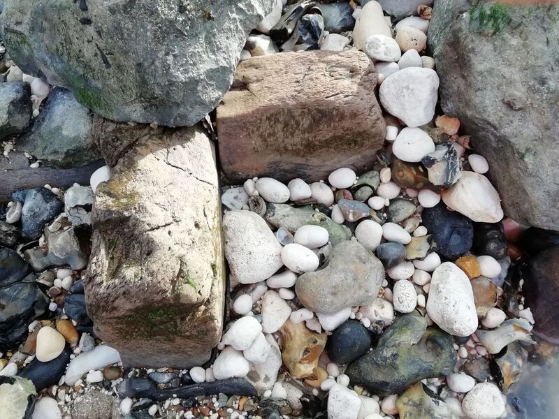
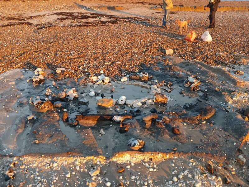
I didn’t have much time to look at that area myself, because low miserable viability, chalk-lined well 4, a little east of the buried former Atherington Street, under a spread of small chalk rubble when I visited on Friday, had reappeared, along with most of its large well construction cut. In good weather and light, the opportunity wasn’t to be wasted in case it wasn’t visible tomorrow, so I spent an hour or so there taking photographs and some quick measurements of the well cut (I’d previously taken some measurements of the well itself, though like Well 3 it isn’t yet on plan), before the waves started whooshing around my feet….
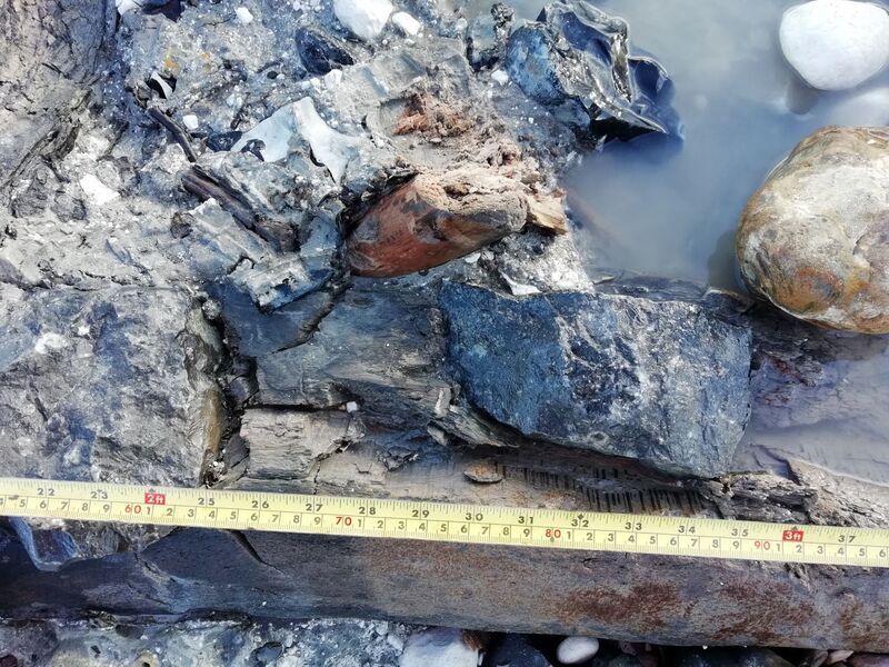
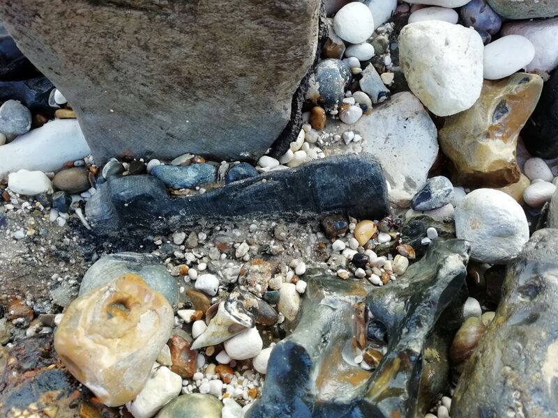
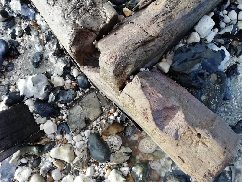
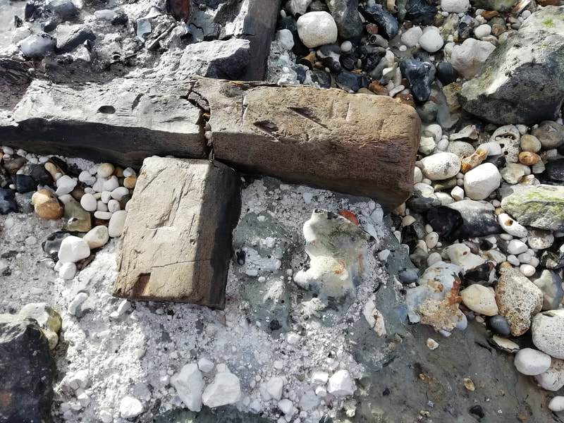
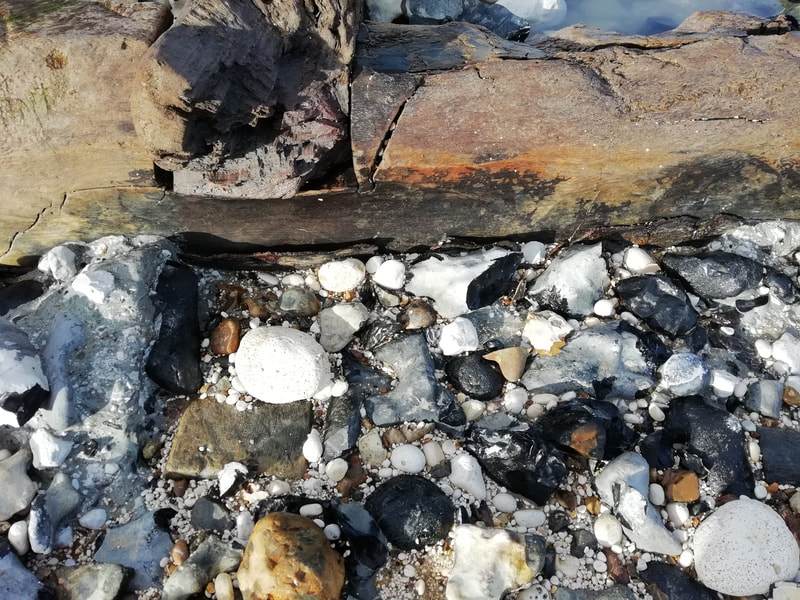
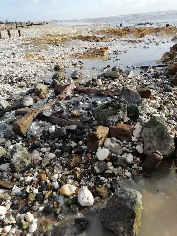
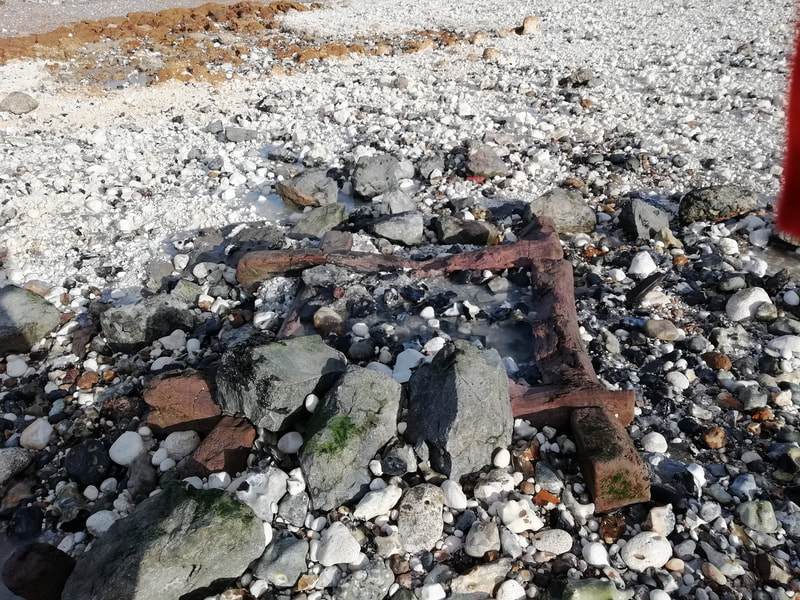
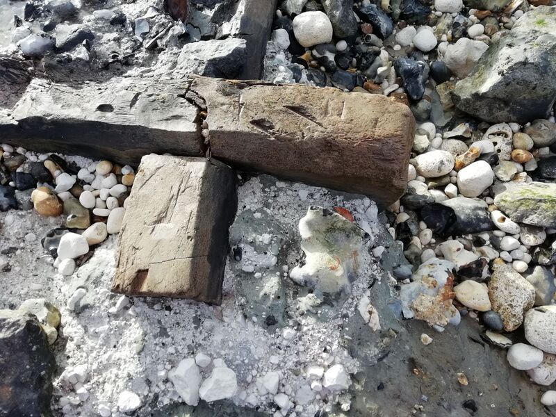
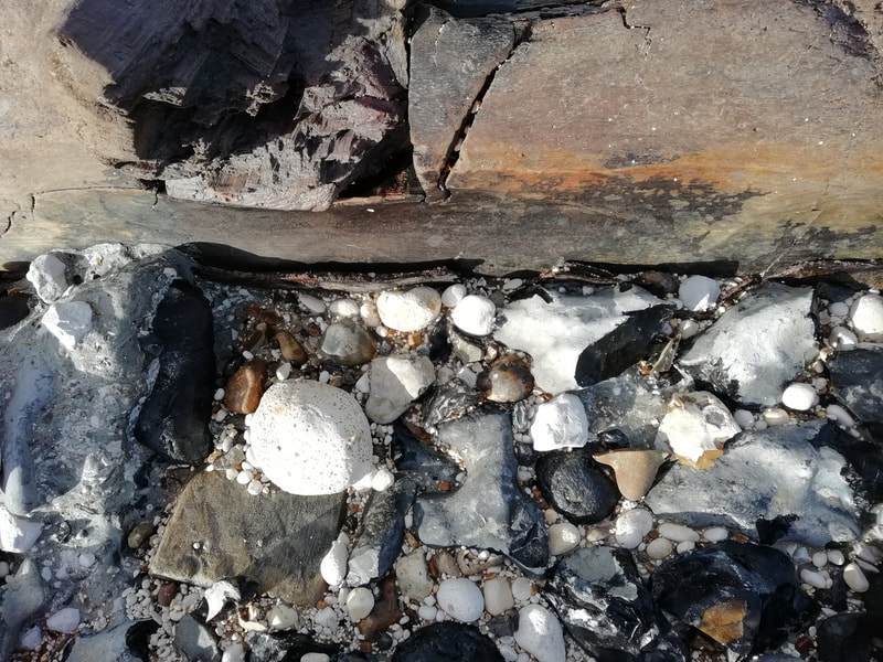
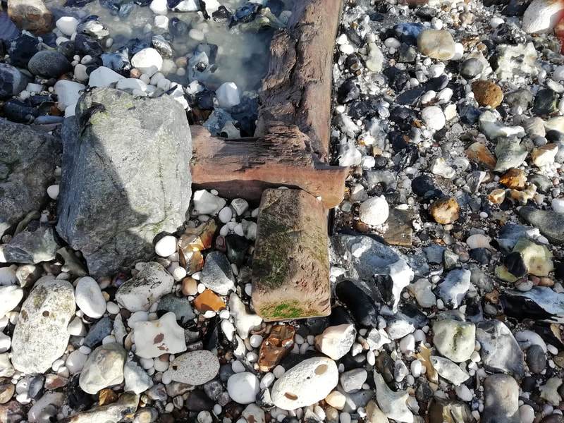
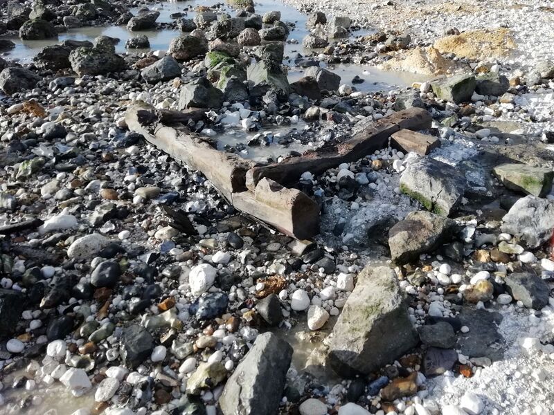
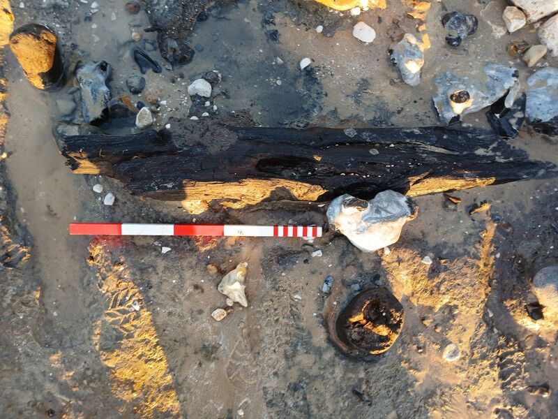
The well cut is almost square – though I can’t be sure about the northernmost part which is still under shingle, with a straight east-west line with rounded corners for its southern edge – and there are three upright round-sectioned stakes or small posts projecting from the dark brown-black silty, in some places sticky fill in the cut’s southern half, not along the edge but halfway between the southern edge and the well; I’m wondering whether these may indicate the top of a rough timber revetment intended to keep the edges of the well cut from collapsing, while the well builders were down there constructing the well. There was also on the surface, but partly within the fill, a 1-metre section of square-sectioned timber with what looks like a mortice. The well fill contains a lot of small pieces of twigs.
I had no success today finding any pottery within the top of the fill of the well cut, but have previously been with Bill when he prised some pieces of green-glazed white ware – C13-C14 I thought – from the top of the fill. On Friday chalk block lined Well 3 at the end of Atherington Street, which most of the team have seen before (Theresa tried to draw it but the waves were too near), reappeared briefly, but it’s covered with chalk rubble again today. I hope to revisit later this week, but there’s no telling, in this very dynamic land/sea interface, whether any of the features we saw today will still be visible then!
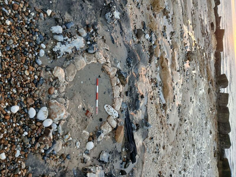
The attached pictures are of Well 4, the well cut and timbers within it.
PS The EA or contractors working for Baliffscourt (or so I guess) have raised another high bank of shingle along the inner edge of the former car park at Atherington, paralleling the high shingle bank nearest the sea, and there is now little more than a wide lorry track left between the two.
Notes by John Mills 21 April 2024
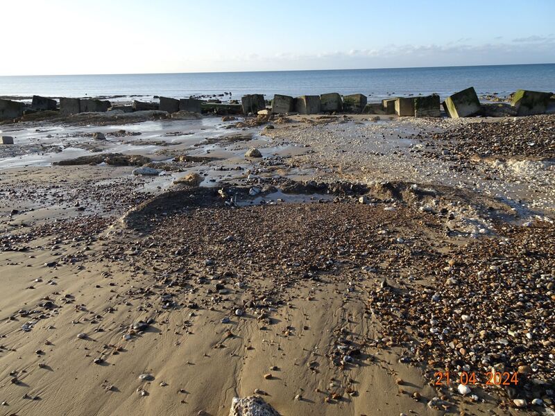
Well 3 (chalk-lined), situated last year close to a timber breakwater, and almost in line with (a little to the west of) the end of Atherington Street, not yet drawn, is still buried under sand; the breakwater has now been flattened for Health and Safety reasons, which makes the well’s site the more difficult to re-locate.
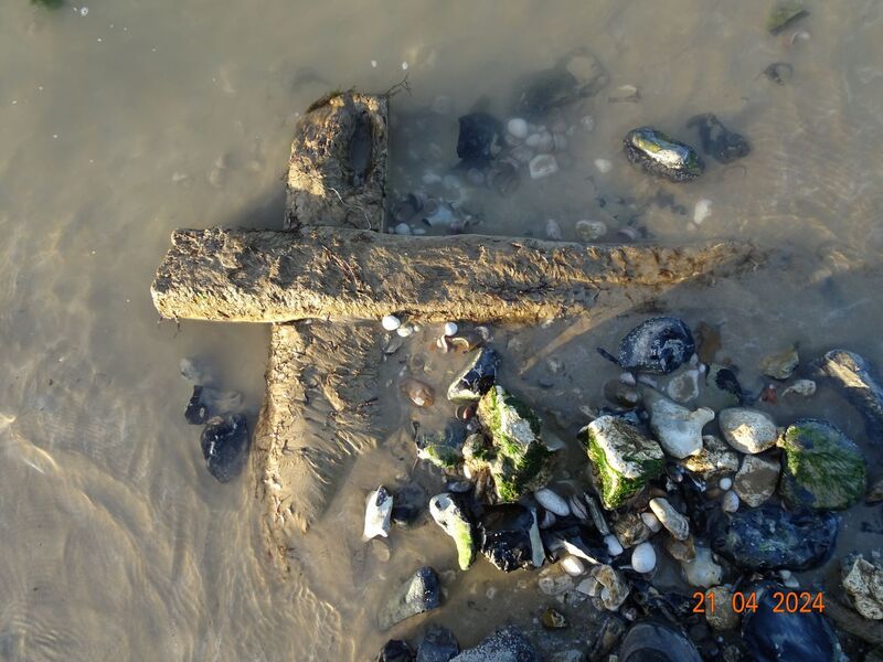
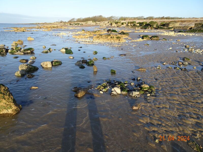
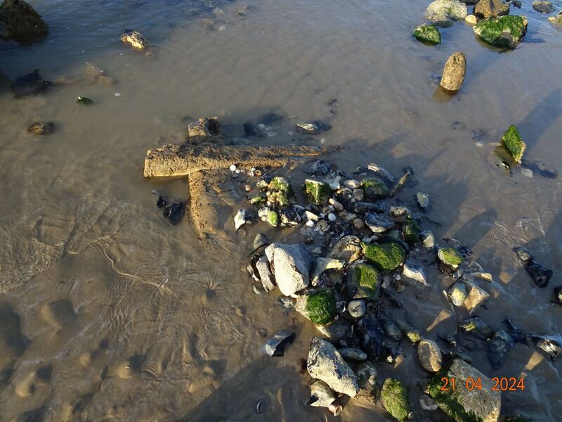
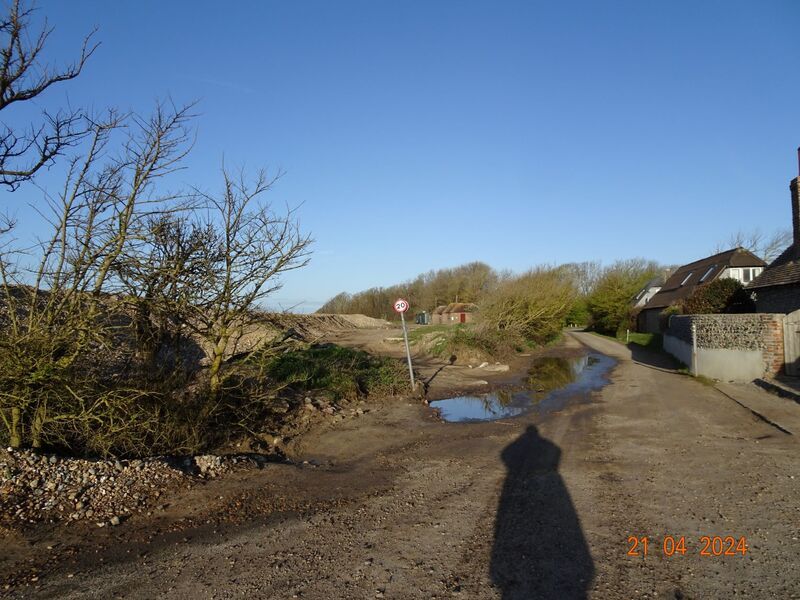
Notes on above images.
1: An “arc” of a raised ridge of dark silt, containing oyster shells and glazed medieval pottery, which I think must be the outermost layer of backfill of a large subcircular construction cut for recently seen chalk-lined Well 4; site of the very briefly visible well itself in the foreground, but now buried under sand and shingle again.
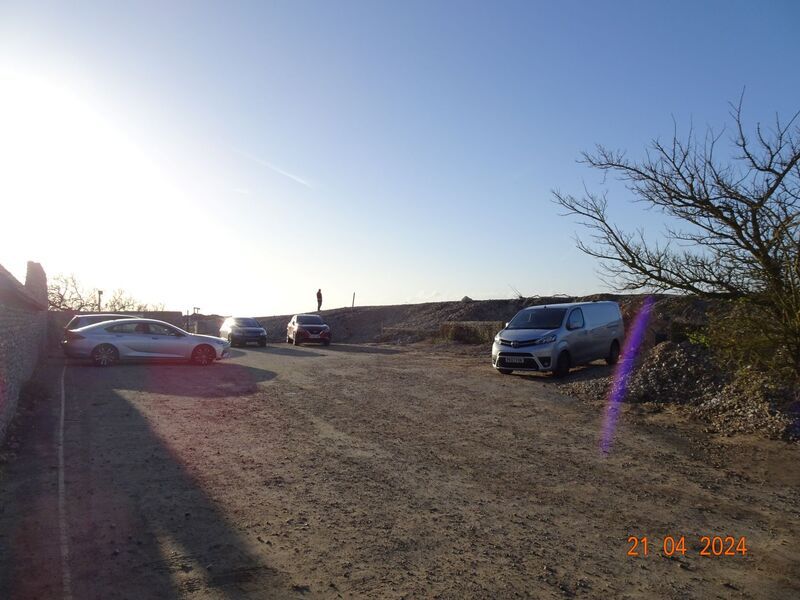
3: The end of Atherington Street now and the new “entrance” to the former Beach car park, not used by cars now, that I’ve seen (cafe (closed at present) in background).
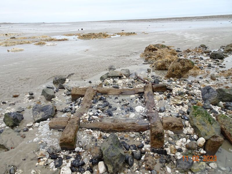
7: A corner of the square timber frame of Well 1 is showing up; this is the second or lower timber course of the well, the uppermost having been removed last year by the landowner for safe keeping; what’s showing now may be the lowest course, we don’t know yet; pic of upper course of timberwork (drawn by Theresa) attached for comparison; newly obtained copy of scan of photo by RW Standing of Kingston (by East Preston) well, excavated in 1981, shows one course of square timber frame directly overlying solid chalk, and underlying two then remaining courses of neatly dressed chalk blocks of lining of the former well there; the two square timber frames (Wells 1 and 2) that we have seen in the last year or two at Climping also, Bill Watkins tells me, originally supported courses of stonework.